We have been talking with leaders: Change is coming; you can no longer have a closed regime with an open society - satellites, social media, the Internet - you have this kind, this kind of society moving forward, and you are running this closed regime; this is not sustainable. This cannot continue.
Ali Babacan
While satellite operators can dodge large pieces of debris and armour satellites to withstand the impact of smaller fragments, with the need for a growing number of satellites in orbit we must be able to monitor the space highways and to gradually clear it of obstructions.
Alok Sharma
With every inch of land on Earth now catalogued by our satellites, the stars are the next place we as a species must travel. And with a booming world population that will hit 9.1 billion in 2050, large-scale space travel may become a necessity.
Ben Parr
Historically, privacy was almost implicit, because it was hard to find and gather information. But in the digital world, whether it's digital cameras or satellites or just what you click on, we need to have more explicit rules - not just for governments but for private companies.
Bill Gates
NSS strongly supports the usage of space to provide benefits to people living on the Earth. The Iridium satellites enable first responders to communicate rapidly during an emergency anywhere in the world.
Bruce Pittman
Even by the diverse standards of Saturn's satellites, Enceladus was an outlier. Its icy surface was as white and bright as fresh snow, and whereas the other airless moons were heavily pocked with craters, Enceladus was mantled in places with extensive plains of smooth, uncratered terrain, a clear sign of past internally driven geologic activity.
Carolyn Porco
If you look at the architecture of Washington, D.C., it is not by mistake that the dome over the Capitol is the very center of the federal city. The White House and the Supreme Court are set about us, satellites to the supreme power of the people expressed in the legislative authority of Congress.
Cathy McMorris Rodgers
We can allow satellites, planets, suns, universe, nay whole systems of universes, to be governed by laws, but the smallest insect, we wish to be created at once by special act.
Charles Darwin
We're enlarging in every single area of the ministry at In Touch. We're on radio and television. We're in over 110 million homes in America plus radio on satellites. We just acquired the NAMB FamilyNet television network, and with that expanding possibilities of the gospel.
Charles Stanley
Napoleon might have understood Dwight D. Eisenhower, who fought not even a hundred and fifty years after Waterloo. But I don't think Eisenhower could even begin to wrap his mind around drone warfare, spy satellites, or any of the technology that now defines the security of our world.
Claudia Gray
During the past few decades, modern technology, with radio, TV, air travel, and satellites, has woven a network of communication which puts each part of the world in to almost instant contact with all the other parts.
David Bohm
I think it's like that for people who don't remember 1969 first-hand. It's that sense of 'old hat.' Of 'been there, done that.' Space shuttles, space stations, communications satellites, GPS - they're all part of our everyday, taken-for-granted world in 2009, not part of an incredible odyssey.
David Weber
Global warming is real. It is happening today. It is being charted by our satellites. It is being charted by our scientists. It is being charted by those of us in this body, and I think the real key is if we are ready to admit that fact and take the action to make the necessary conversion.
Dianne Feinstein
At the height of the Cold War, when Ronald Reagan was president, the Soviets and their allies and satellites did not shirk human rights debates with the West. They had their arguments ready.
Elliott Abrams
Boeing, LockMart, and hundreds of other companies, large and small, work in the space business, and they also create new techniques and technology; but they'd be nowhere if NASA and the Department of Defense hadn't shown the way by funding the first big rockets and satellites.
Homer Hickam
Have I ever pretended to be something? I think back in college I think I might have told a girl that I was a professional tennis player once. And then, of course, she had never heard of me so I had to dig deeper. 'I'm just sort of on the playing satellites. You know, I'm kind of working my way up. I'm not ranked in the top 100 or anything.'
James Roday
To understand how quickly we're cooking the planet, we need good data. To have good data, we need good satellites.
Jeff Goodell
Micro satellites, about the size of a loaf of bread, are going to be going into space more and more.
Jim Cantrell
Getting to space for satellites is tough. Getting to space with humans aboard is even tougher.
Geo-stationary orbit is actually real estate - you can only put so many satellites up there. It's like waterfront property at the beach. Everyone builds the biggest thing they can put up there.
Solar storms cause power outages. They pose a hazard to satellites. They might interfere with your GPS or send your compass a couple of degrees off course. But I don't think solar storms are a life-threatening event.
One of my most popular songs, 'Satellites,' I paid $300 for that beat on SoundClick.
Aside from communications satellites, space is devoid of industry.
I am probably not alone in sensing above me the huge corporations and monstrous banks, science, politics and technologies, spy satellites and stock markets, military systems and massive wealth - forces and dynamics I don't understand or can hardly imagine.
Even more than we want good love for ourselves, we want it for our children, those vulnerable satellites of our hearts that we send, unsteady, into the world.
I'm the most recognized and loved man that ever lived cuz there weren't no satellites when Jesus and Moses were around, so people far away in the villages didn't know about them.
The exciting results from the Hubble, other satellites and probes would not have been possible without innovative solutions to many technical problems.
The Pacific is the best toilet for satellites.
The rockets and the satellites, spaceships that we're creating now, we're pollinating the universe.
Here, in low earth orbit, we're going around the earth, so we can actually use an Internet protocol phone because we have the appropriate satellites that can get those bandwidths.
Support space-resource and industrial infrastructure. Multibillion-dollar satellites or voyagers to Mars and beyond, if we don't live off the land, we will always only be visitors or wire stringers in territories we do not inhabit or control.
GPS is expensive because it is a very slow communication channel - you need to communicate with three or four satellites for an extended duration at 50 bits per second.
All of us know today the value of communications satellites, weather satellites, resources satellites, etc.
The density of space junk peaks around 620 miles up, in the middle of so-called low-Earth orbit. That's bad, because many weather, scientific, and reconnaissance satellites circle in various low-Earth orbits.
Scientists use satellites to track weather, map ice sheet melting, detect diseases, show ecosystem change... the list goes on and on. I think nearly every scientific field benefits or could benefit from satellite imagery analysis.
Archaeologists use datasets from NASA and commercial satellites, processing the information using various off-the-shelf computer programs. These datasets allow us to see beyond the visible part of the light spectrum into the near, middle, and far infrared.
We're literally just beginning to learn how to use satellites to find sites. More and more people are realizing there's this incredible tool.
Satellites record data in different parts of the light spectrum that we can't see. And it's that information that allows satellites to be so powerful in terms of looking at things like vegetation health, finding different kinds of geology that may indicate an oil deposit or some kind of mineralogical deposit that can be mined.
When people initially think of the term 'space archaeologist,' they think, 'Oh, it's someone who uses satellites to look for alien settlements on Mars or in outer space,' but the opposite is true - we're actually looking for evidence of past human life on planet earth.
What satellites help to show us is we've actually only found a fraction of a percent of ancient settlements and sites all over the world... It's the most exciting time in history to be an archaeologist.
What these satellites do is they record light radiation that's reflected off the surface of the Earth in different parts of the light spectrum. We use false color imaging to try to tease out these very subtle differences on the ground.
There are so many previously unknown sites and structures all over the world. And I think most importantly what satellites help to show us is we've actually only found a fraction of a percent of ancient settlements and sites all over the world.
All over the world, we're finding out that, you know, whether it's Egypt or Syria or Central America, what satellites are showing is that there are hundreds, if not thousands, of previously unknown settlements all over the world, and what archaeology does, it helps us to understand this common humanity that we have.
Think about what would happen if Indiana Jones and Google Earth had a love child. I use high-resolution and NASA satellites and look for subtle differences on the surface of the earth that locate buried ancient pyramids and towns and ancient tombs, which we then go and excavate.
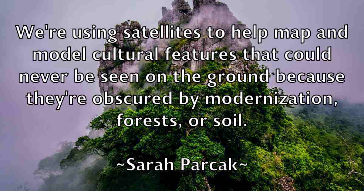
We're using satellites to help map and model cultural features that could never be seen on the ground because they're obscured by modernization, forests, or soil.
I predict that there are hundreds of thousands, if not millions, of undiscovered ancient sites across the globe. The only way to map them and locate them quickly is from satellites.
It's an important tool to focus where we're excavating. It gives us a much bigger perspective on archaeological sites. We have to think bigger, and that's what the satellites allow us to do.
One hardly knows where, in the history of science, to look for an important movement that had its effective start in so pure and simple an accident as that which led to the building of the great Washington telescope, and went on to the discovery of the satellites of Mars.
As a geek, I take umbrage at the notion that chips are not sexy. But yes, robots, drones, satellites and self-driving cars are the kinds of things that excite me.
Tom Snyder was born to broadcast. He loved television and it loved him back. In that, he was a member of a vanishing breed, especially as narrowcasting displaces broadcasting, 'online' replaces 'on the air,' and any Tom, Dick or Mary can be monarch of a desktop domain, uplinking themselves to satellites in space.